

© YCCCART 2011-2021


Welcome to YCCCART

NEWS & EVENTS
READ THE LATEST NEWSLETTER
Report on the concentration of Dean and Chapter ownership around Congresbury
market place and market cross at Broad Street and The Cross which has possible
implications for the management of the fair and market of Congresbury during the
medieval period and up until the First World War. The report concentrates on the
cartographic evidence of the postmedieval period, including the 1812 survey of
Congresbury and Wick. Open Report
Report on a gradiometry survey north of Ham Farm, Yatton which showed ditches
reflecting its recent rearrangement (late 20th C), along with a potentially interesting
sub circular feature (although this may be an equitation feature). Open Report
Report of gradiometry survey of Barn Close, Ham Farm, Yatton which was largely
negative, apart from a few relatively recent features. Noticeable, however, given the
context, was the lack of any evidence for Roman or medieval occupation or usage.
Open Report
Report on documentary research regarding the 'melcwaeg', Cheddar, charter of 1068.
The solution to puzzles created by documents around 1000 years old can never be
completely certain, but historians working on solutions to Saxon boundary charters
have seldom used landscape archaeology more than perusing the OS plans. The
subject of this report may help in these elucidations, and the report is an attempt to
solve one of the more obscure 'Saxon' charters of Somerset. Open Report
Report on documentary study largely drawn from work submitted for the opposing of
a scheme by Electricite de France to convert tens of hectares of farmland at
Kingston and elsewhere on the Severn littoral into 'saltmarsh'. The general very poor
understanding and appreciation of the importance of agriculture by the urban
population cannot be overstated. Issues regarding both the development of historic
landscapes in the Northmarsh and of agriculture in general are addressed in this
paper. Open Report


Yatton Congresbury Claverham and Cleeve Archaeology Research Team
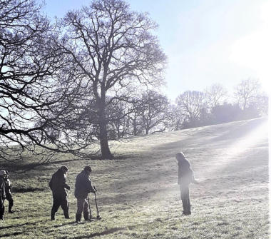
ALL STEAM AHEAD
Three teams are now surveying on a Thursday. If you would you
like to join us please send an e-mail to ycccart@gmail.com